Category: Blog

  • Dispatches from Pierce Creek

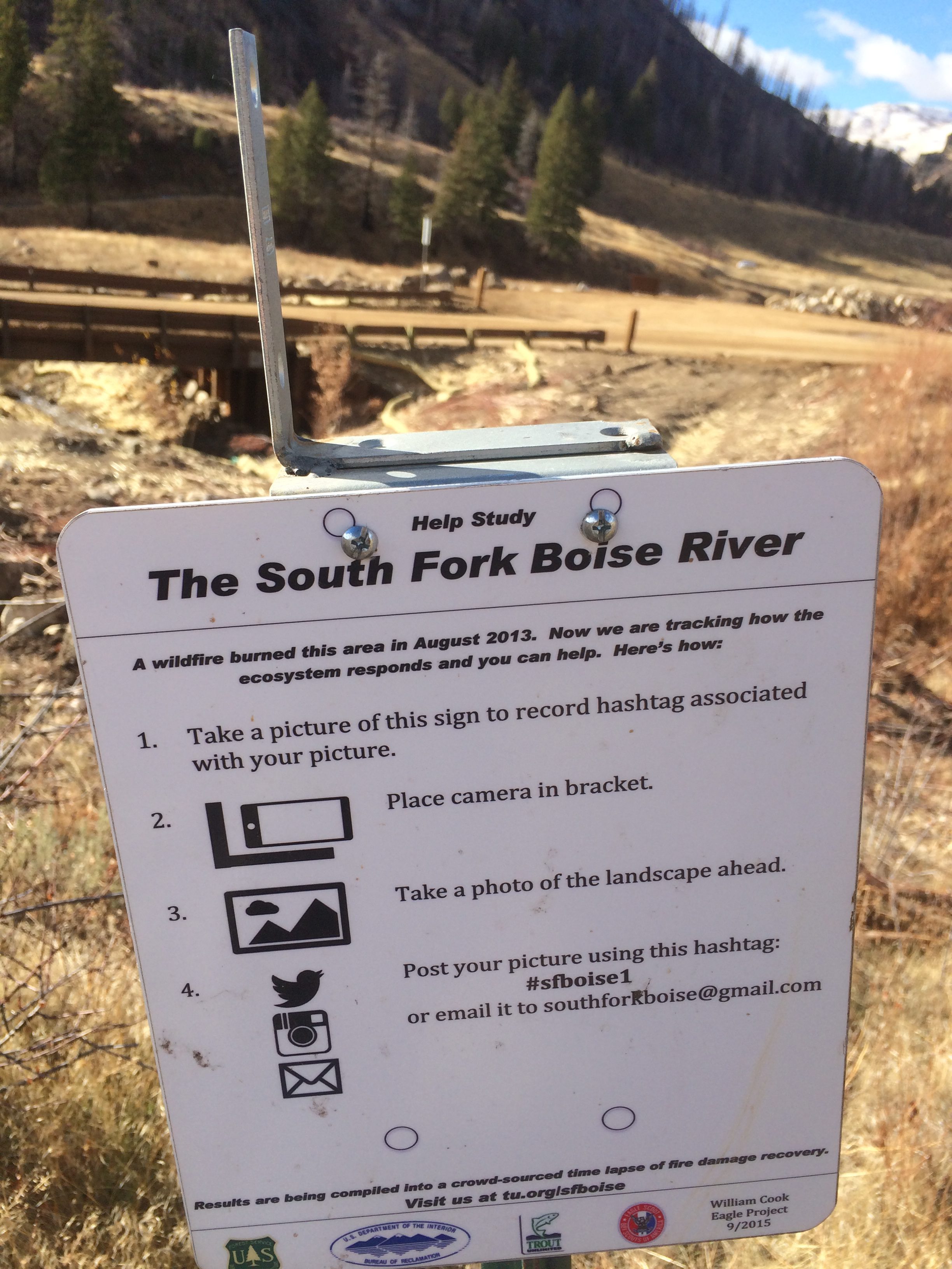
    The March 30 planting project is done.  Here’s a round up of photos and observations.

    The Forest Service assigned five personnel. They provided instruction, equipment and leadership on the ground. They praised us saying we knew how to through a good party. They may be able to partner with new projects this season and promised to keep me in their loop. Barber Flats interestingly is a target.

    With last minute unanticipated subtractions and additions TU contributed at least a dozen and a half to two dozen persons including the cooking crew. Weather was perfect. Kudos to Fred Hebert and his two buddies for a chili based lunch with our kitchen equipment. They gave Leadership credits to one Eagle Scout.

    Boy Scouts (BSA) will monitor “take” during the summer. FS will share details with us.

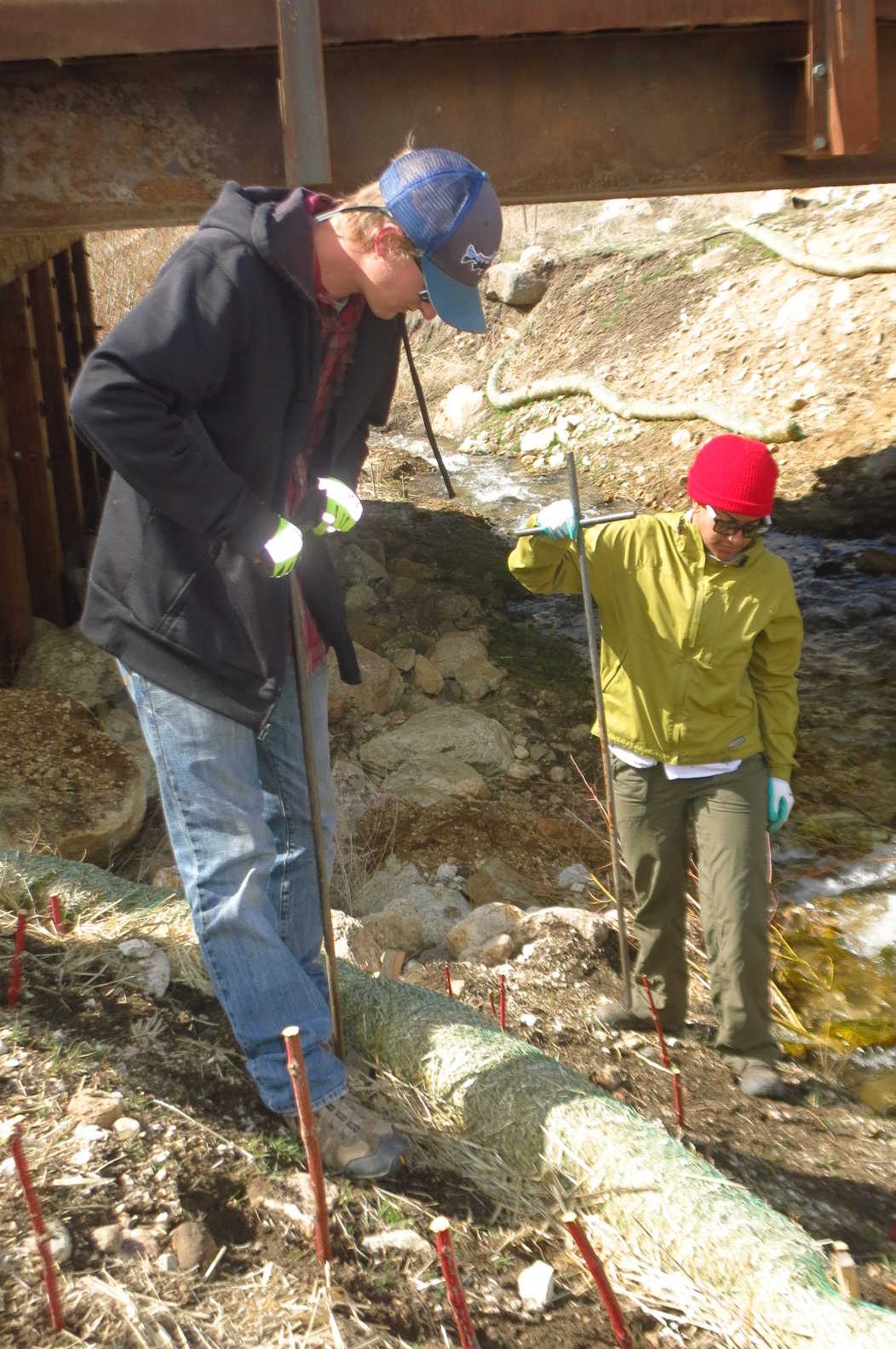
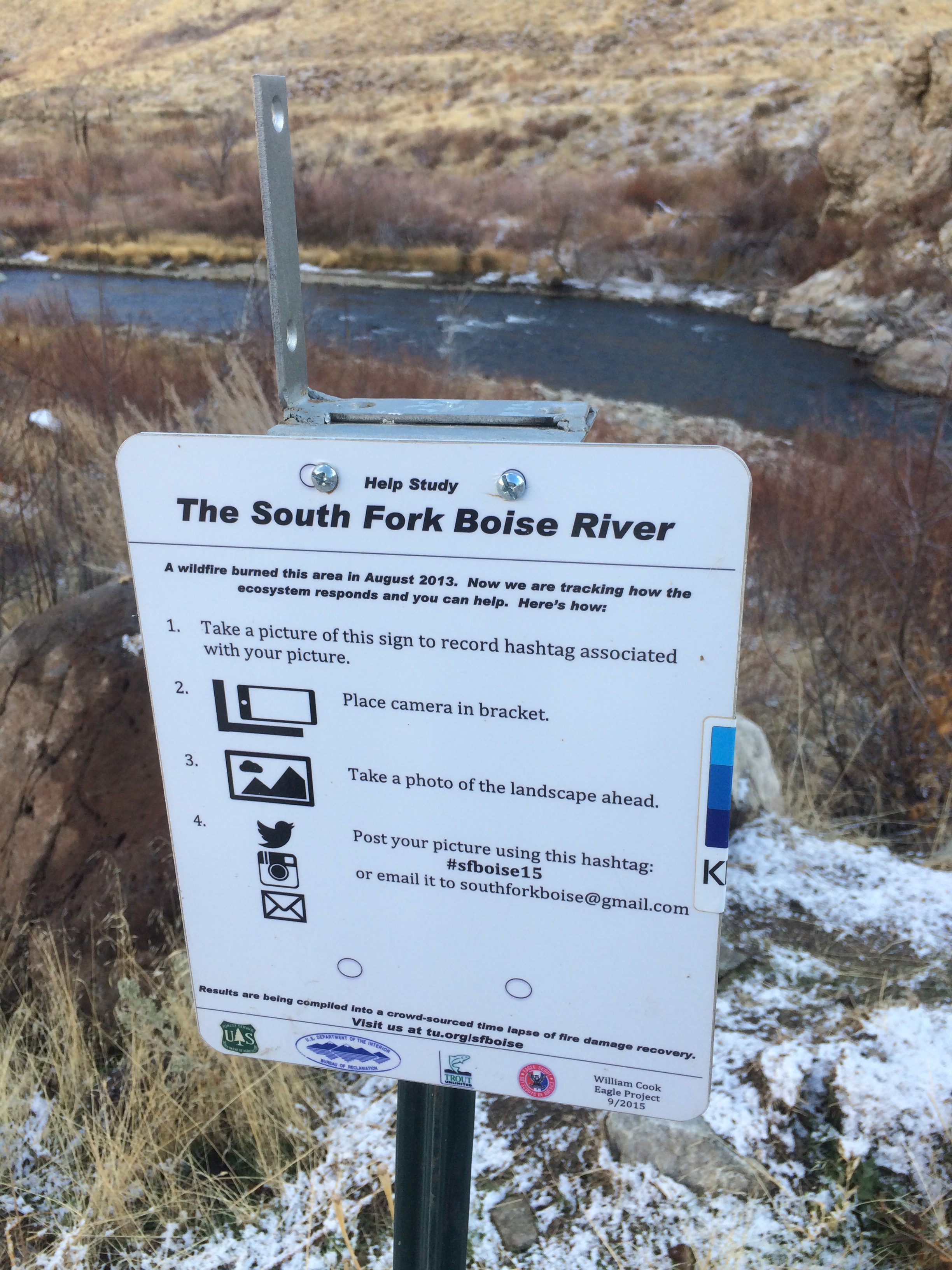
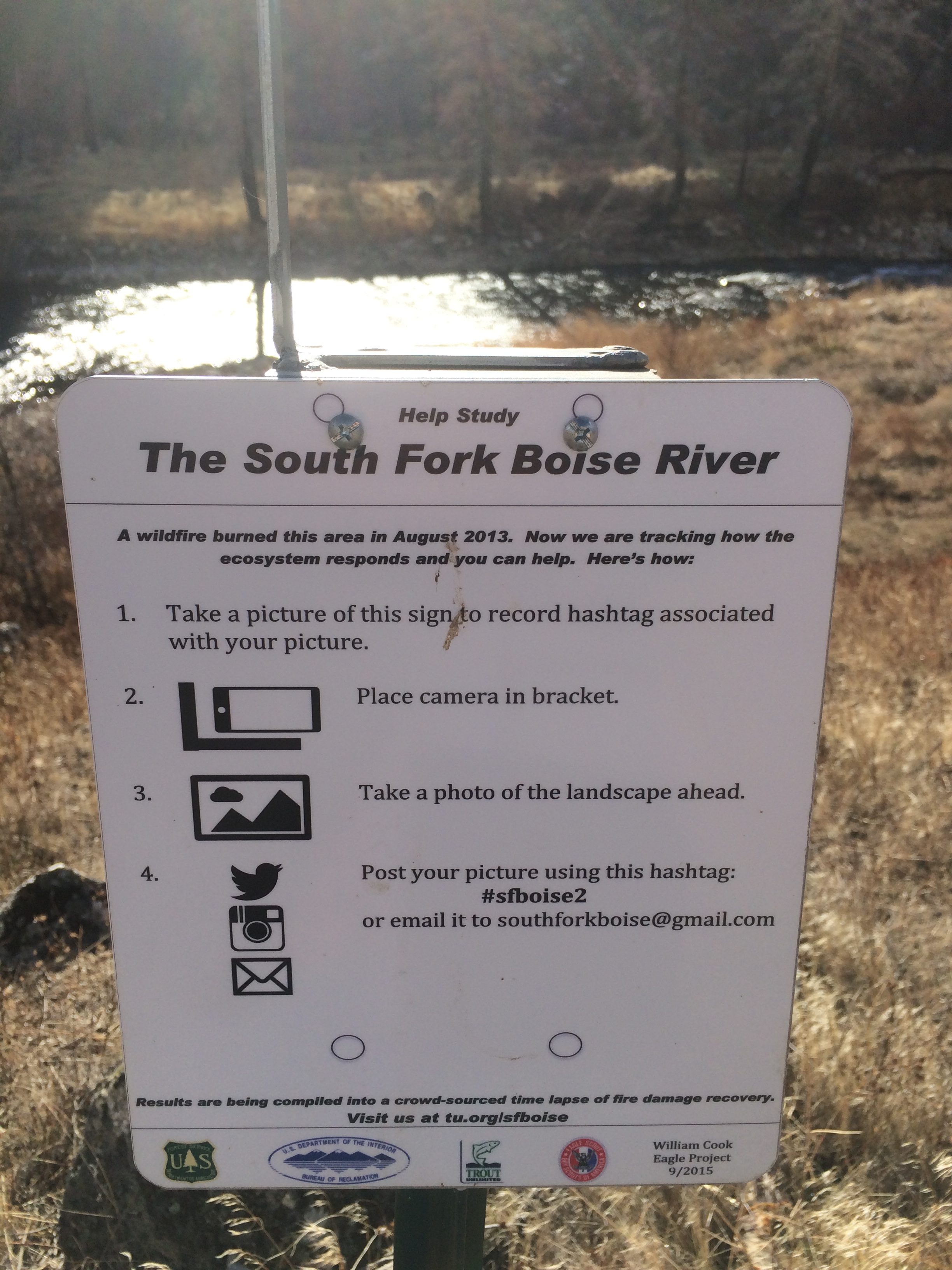
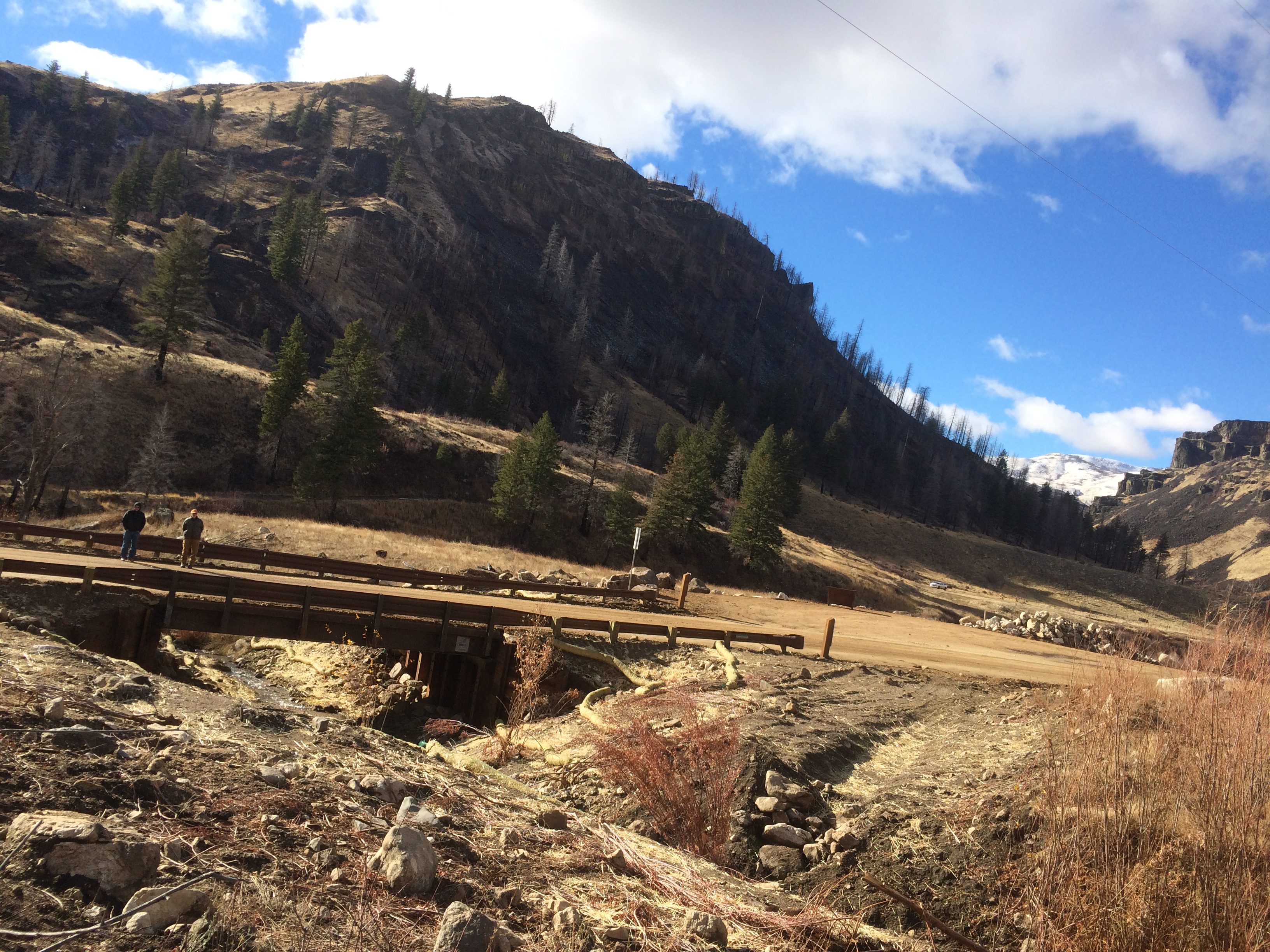
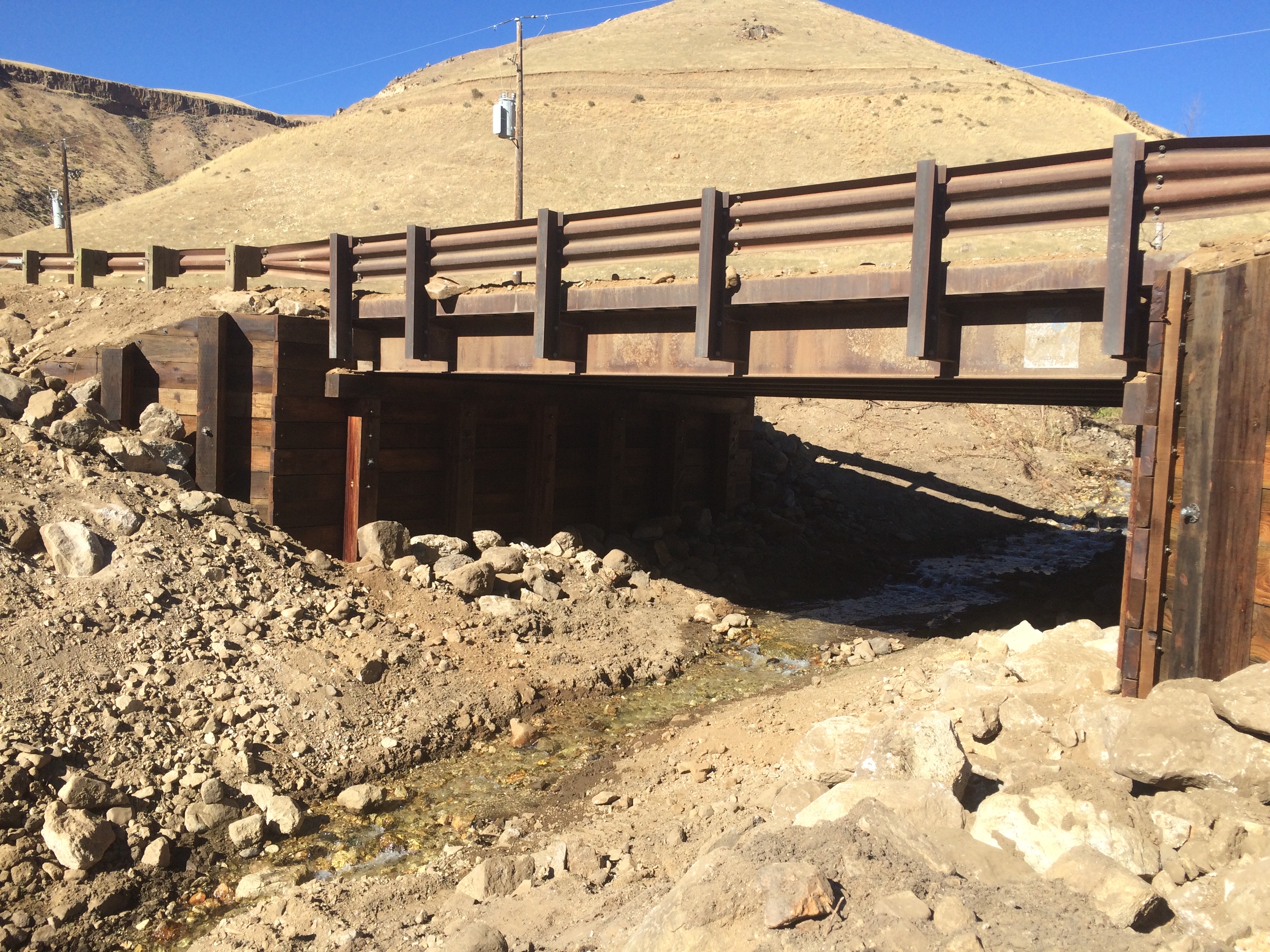
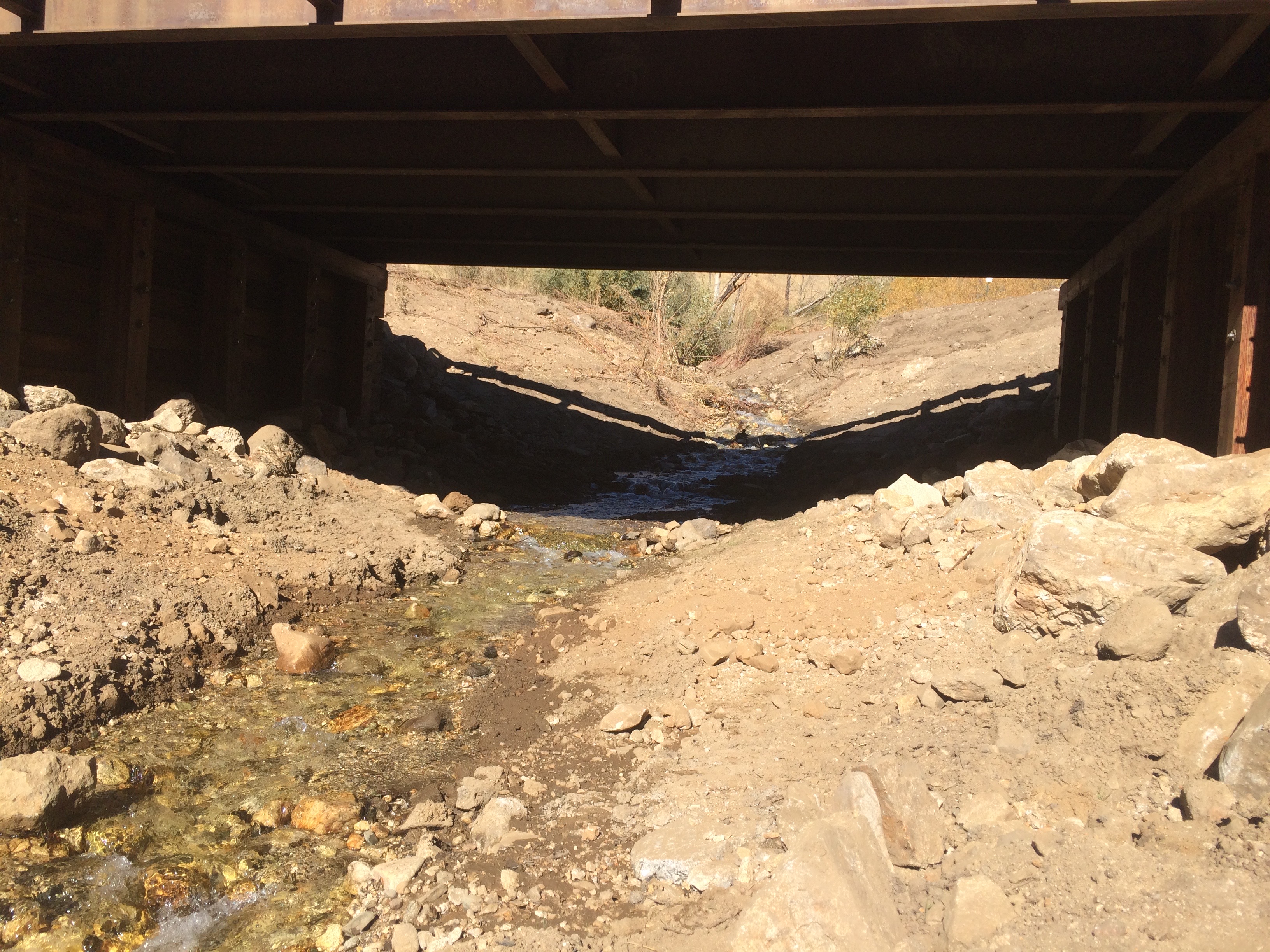
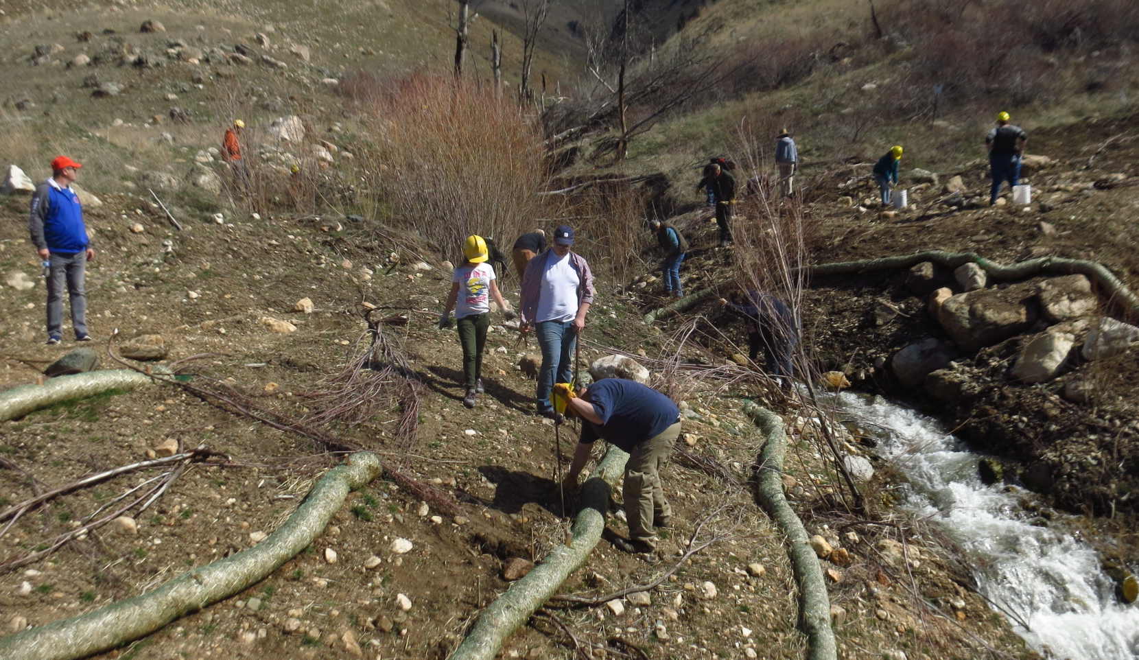
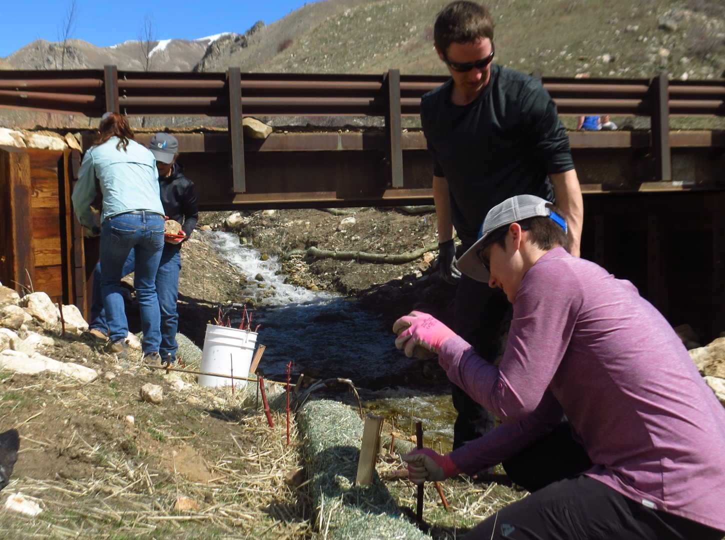
    The BSA swelled our ranks immensely with scouts and their family members. There were easily four dozen persons all actively cutting and planting from 11:00 a.m. to 3:00 p.m. sans 45 minutes for lunch. Together we all placed literally hundreds of 12 to 18 inch pieces into the embankments along Pierce Creek both below and well above the bridge and even under the bridge and around wattles FS had installed earlier to bank retard erosion near the bridge. Rain is anticipated now soon to follow this week that should help.

    I would like to add to Dr O’s report the planting went really well and Doug did show and there were probably several other members that showed also who didn’t send in emails but may have been on some of the other lists.  Every one got fed well and there was no food left to clean up Fred was able to get a few of the scout to take seconds to polish off the chili.

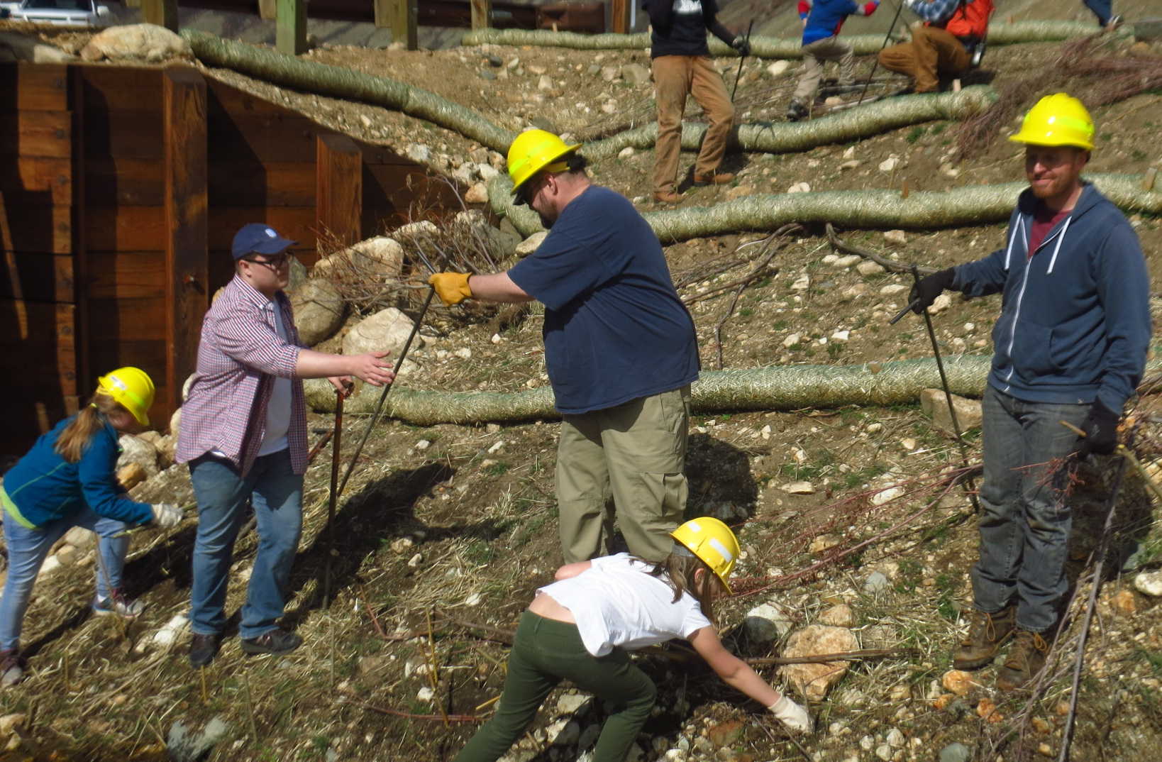
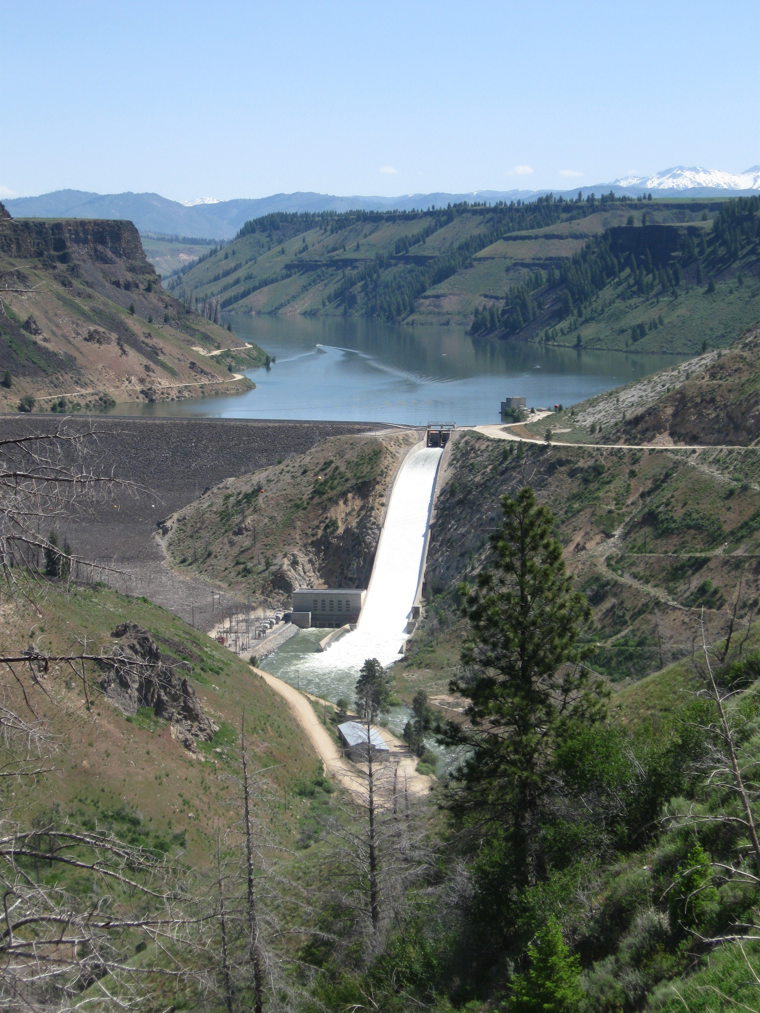
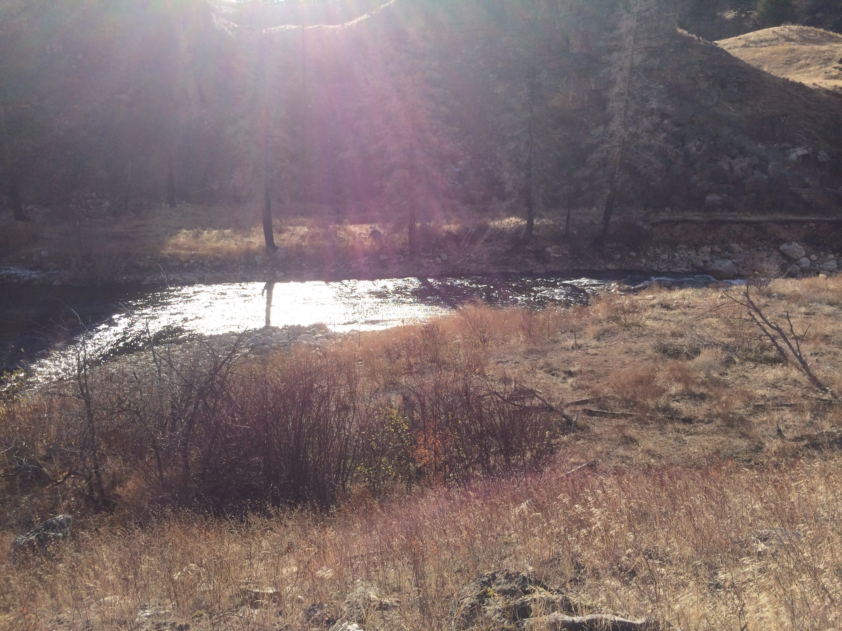
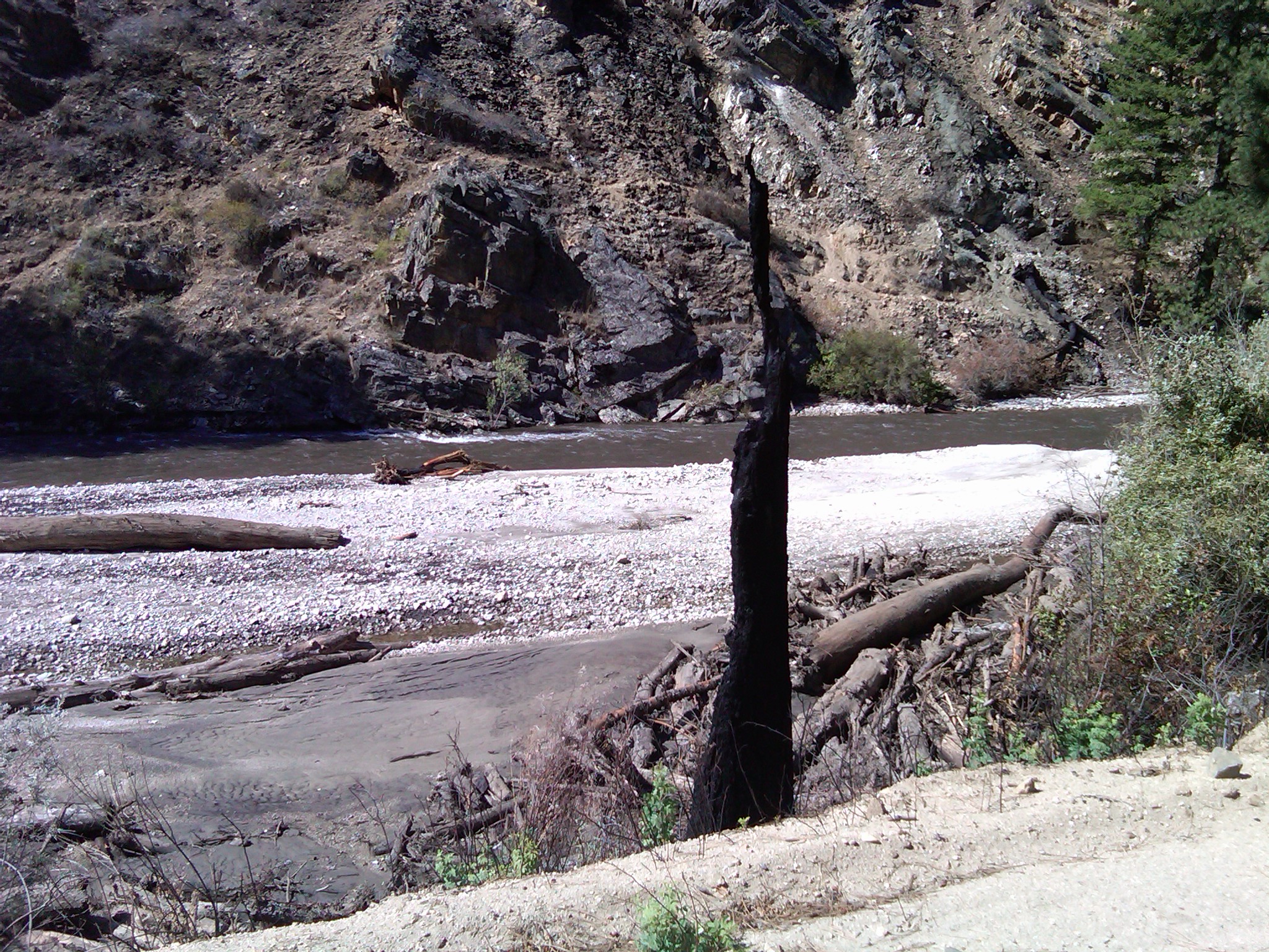
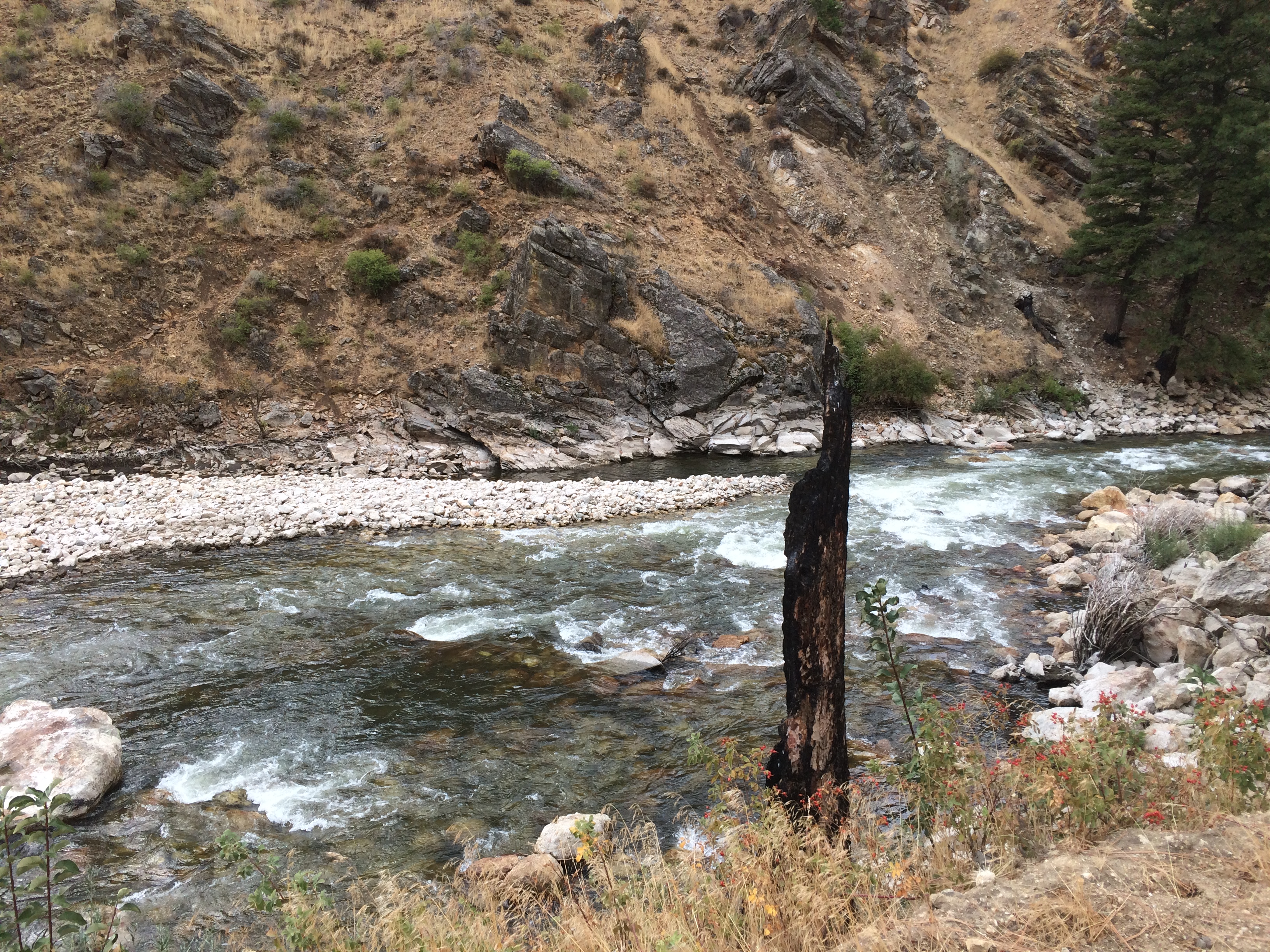
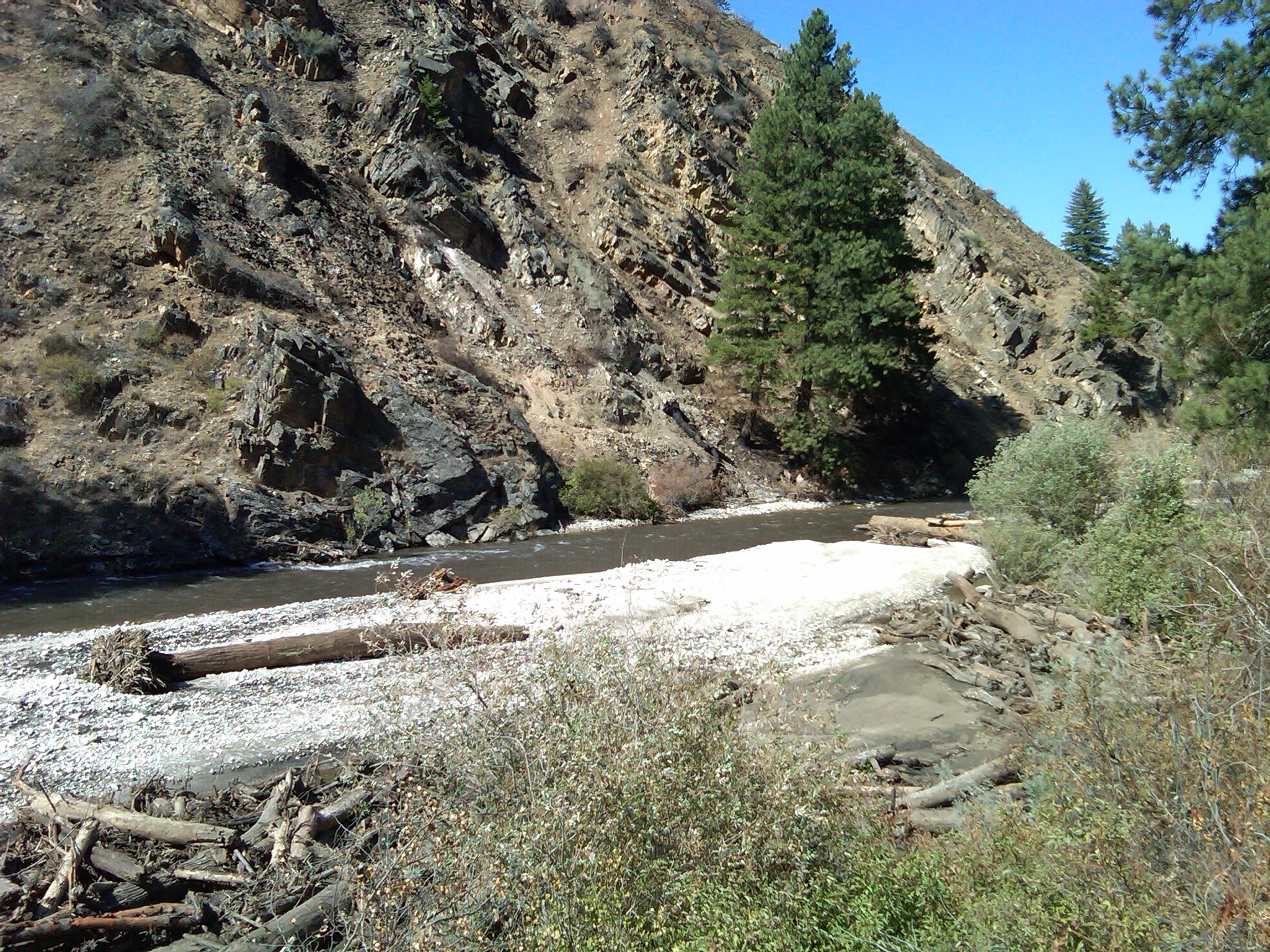
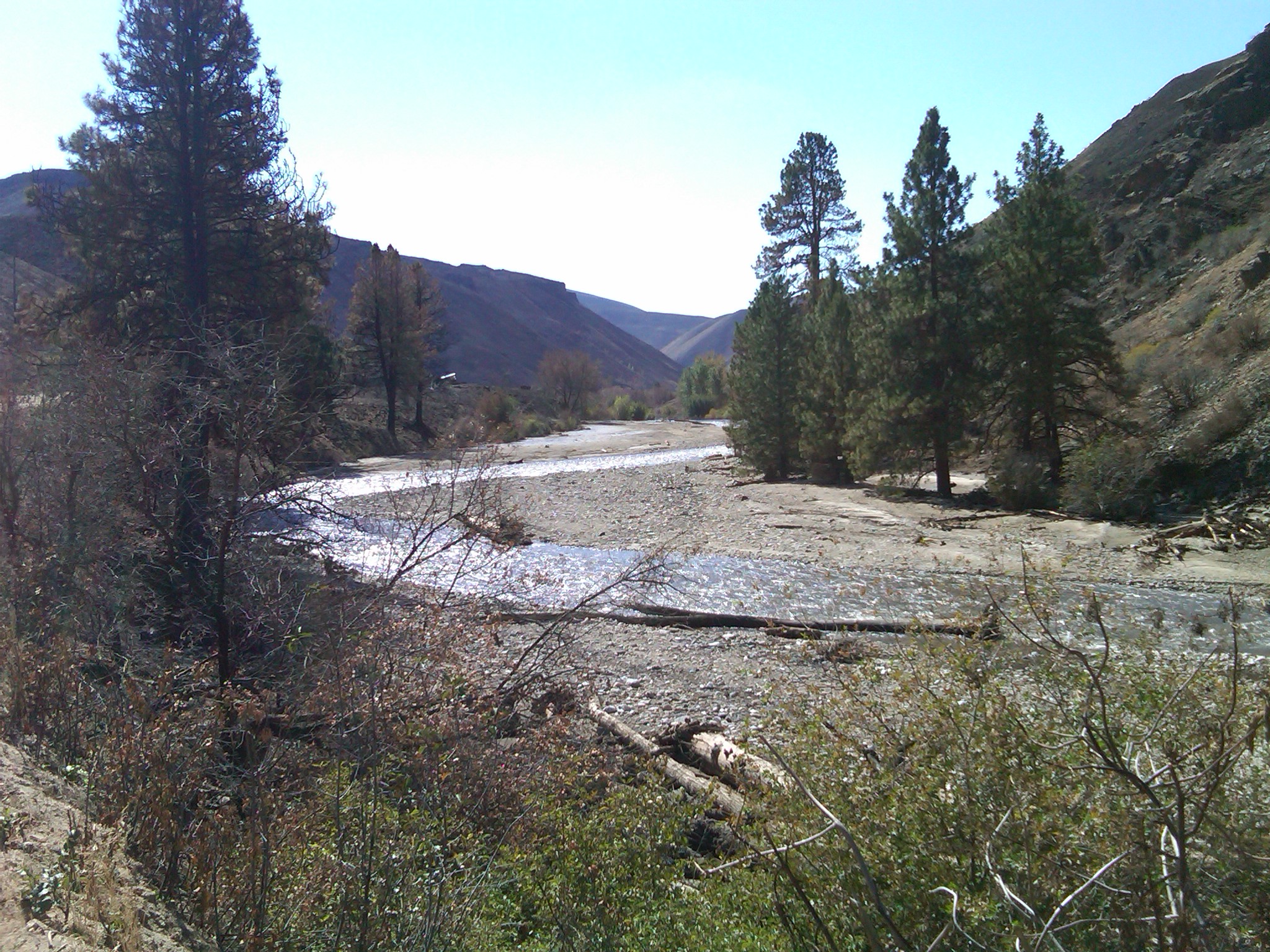
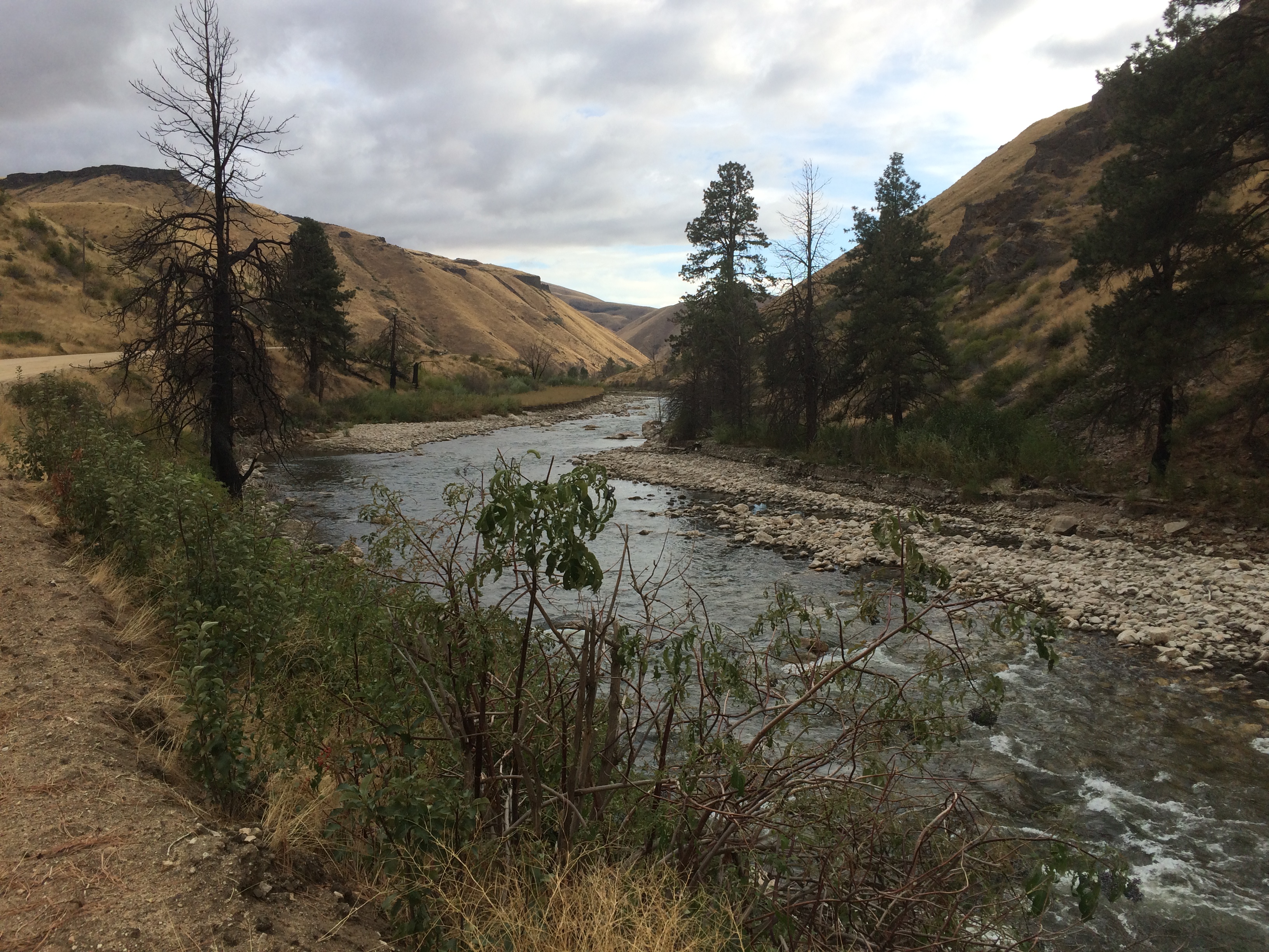
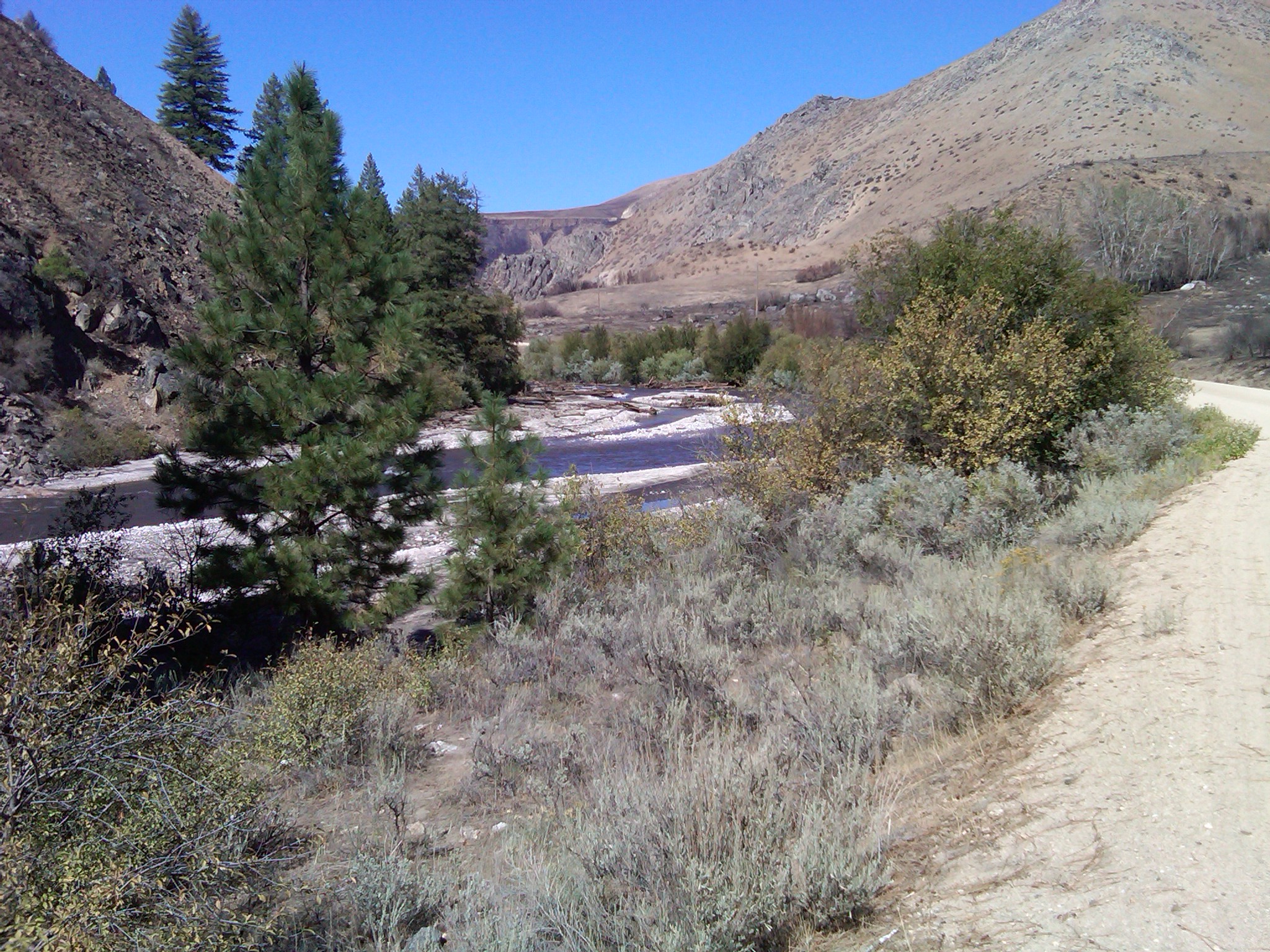
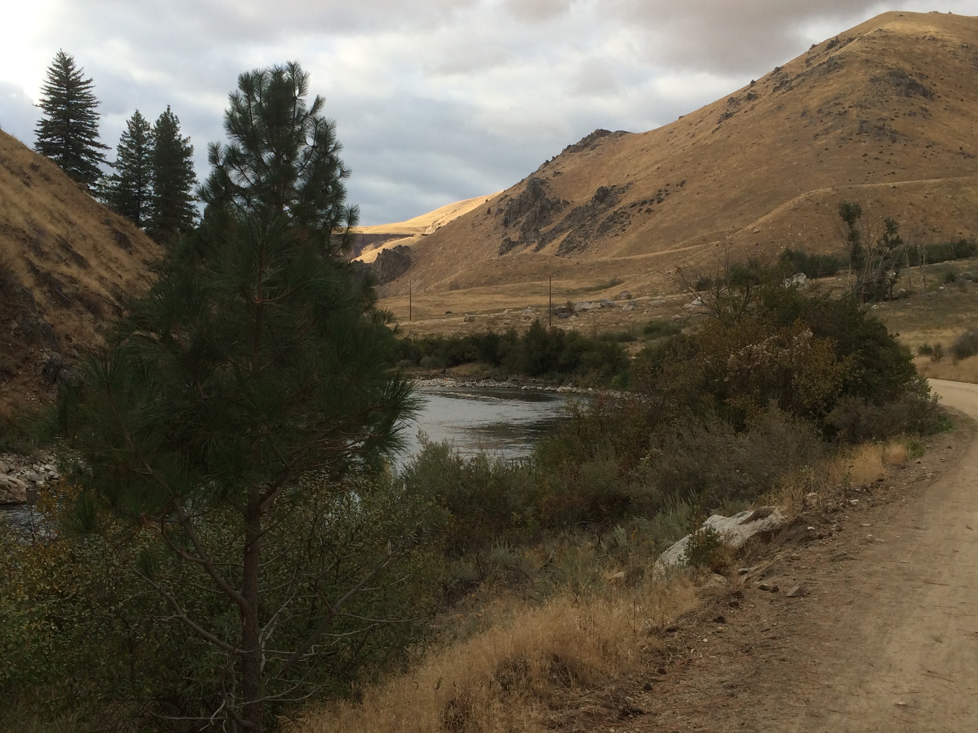
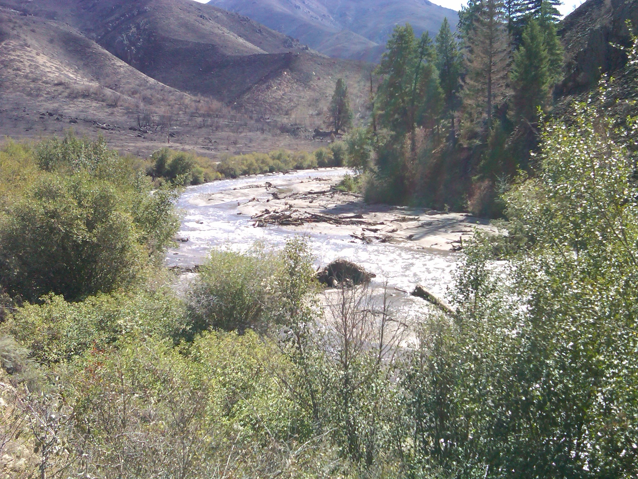
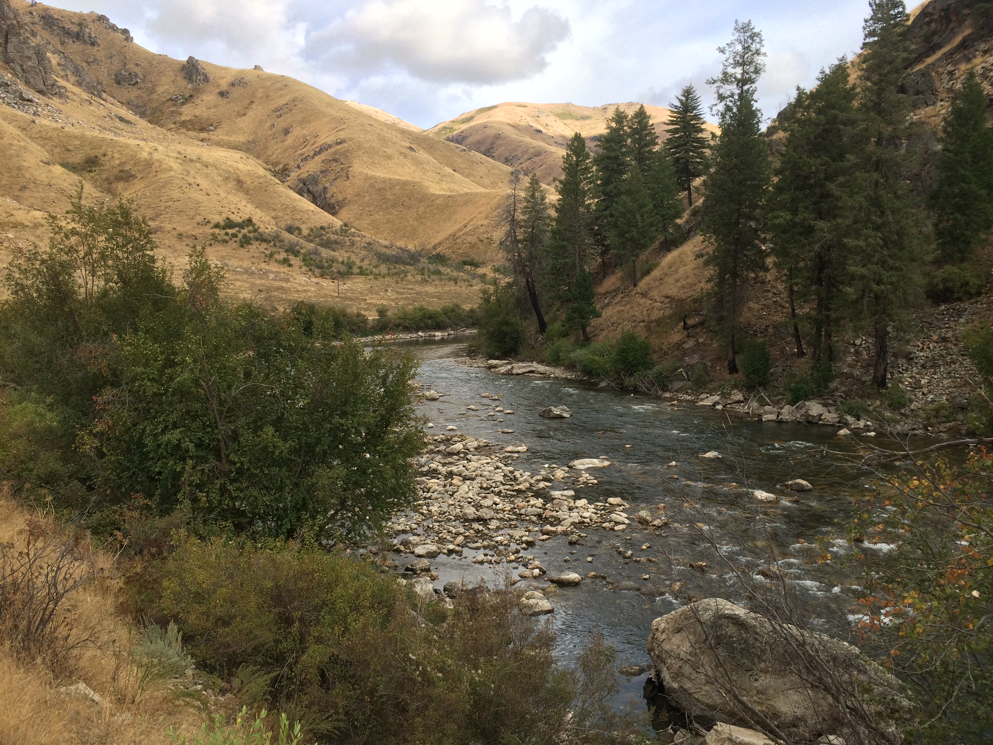
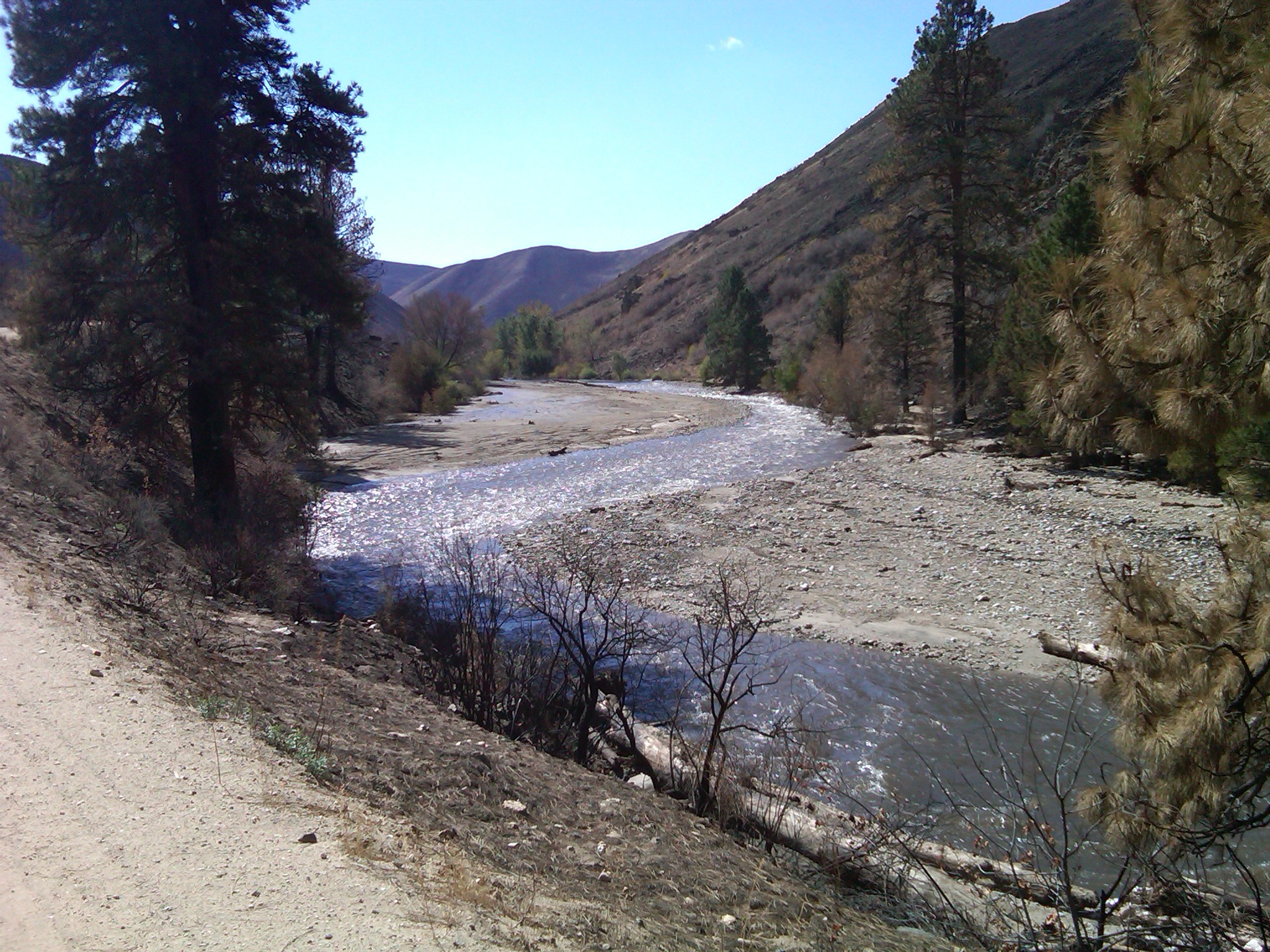
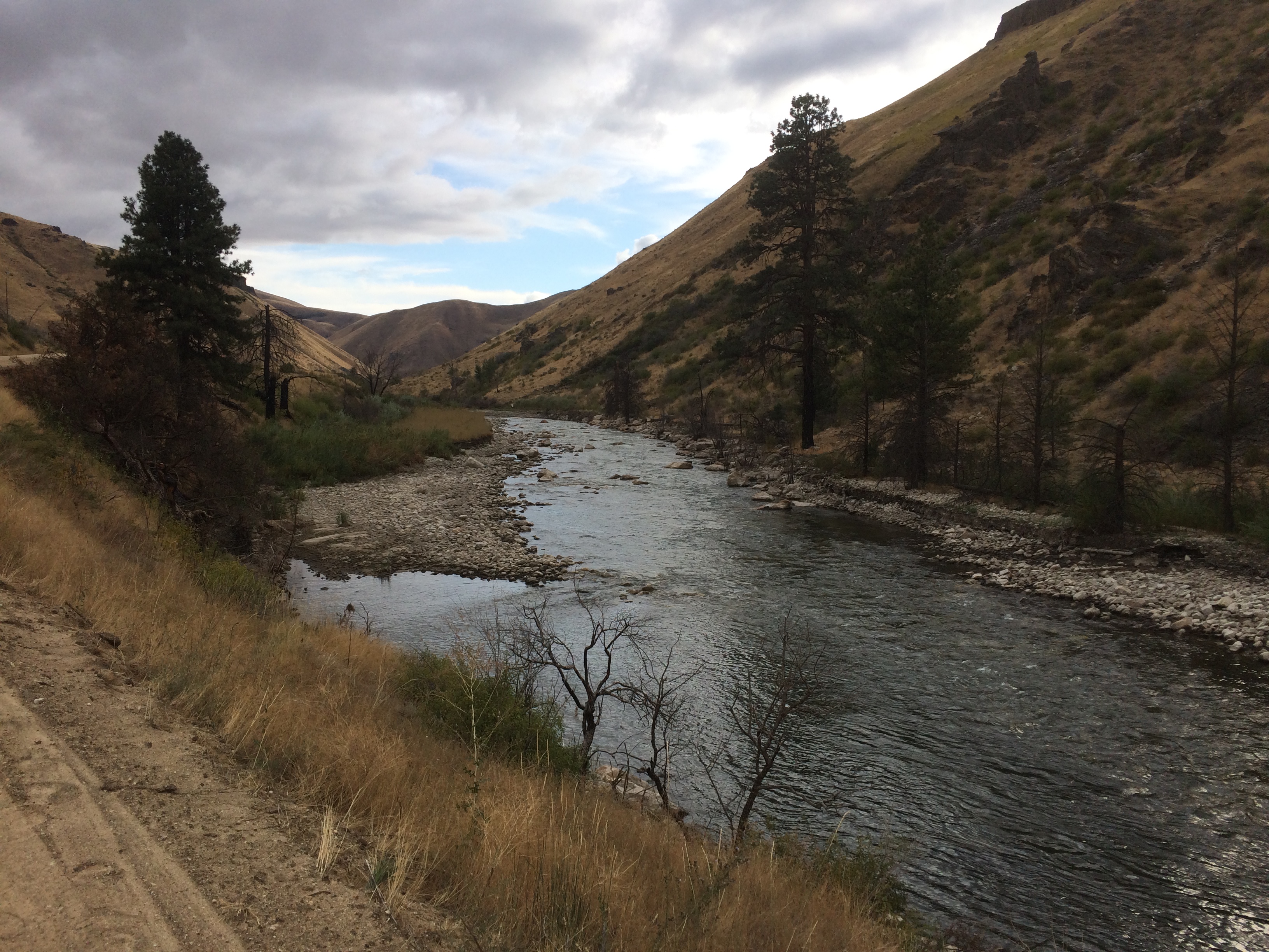
    The Forest Service did an outstanding job in mitigating the impacts  of the migration barriers left after the initial big blowout the willows initially planted were well established below the bridge.  There is a potential barrier where the creek drops off the alluvial fan into the South Fork that will probably change after high water this year.  If BOR doesn’t start releasing water very soon we will probably seem some very high water on the SF later this spring.

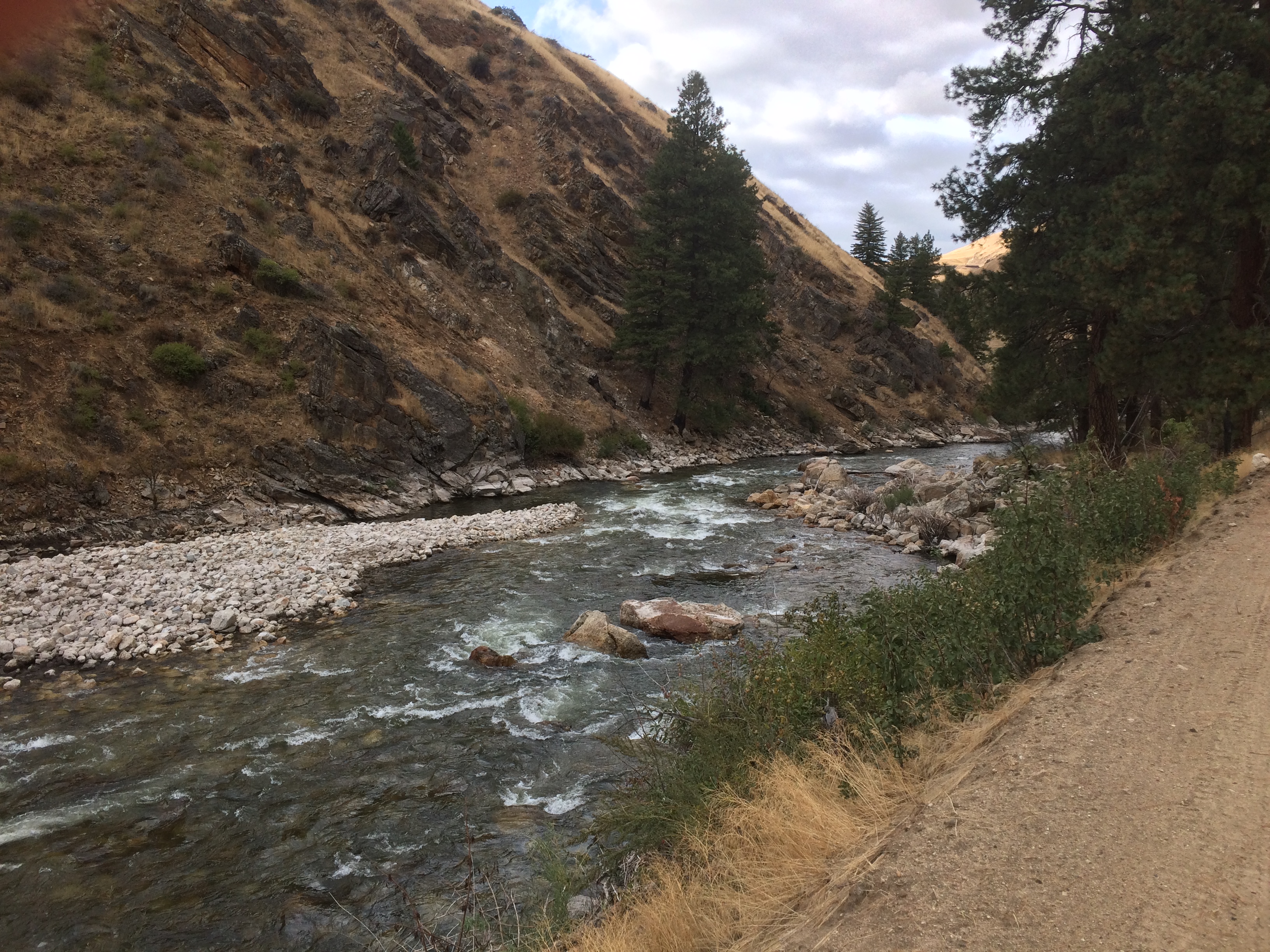
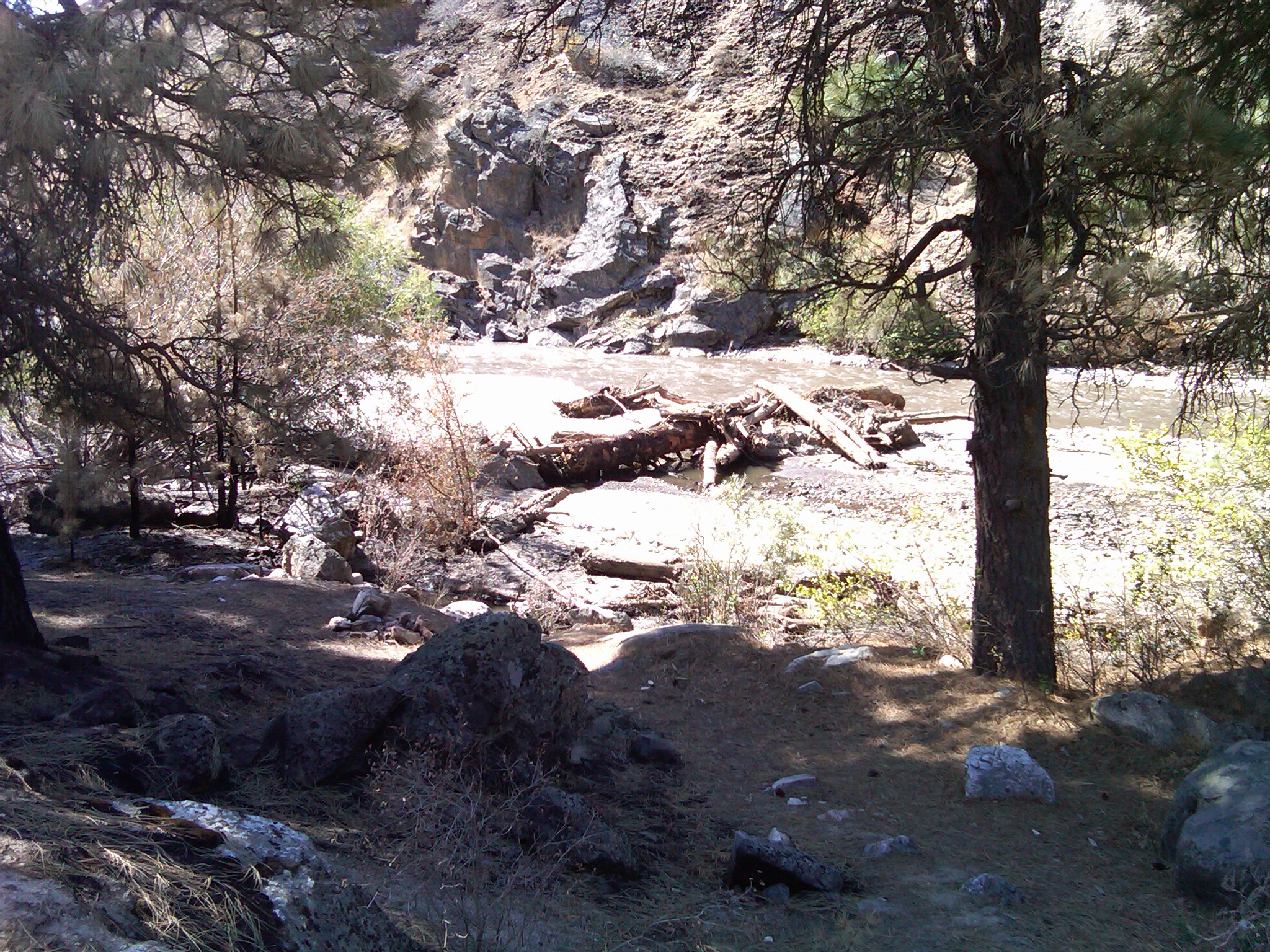
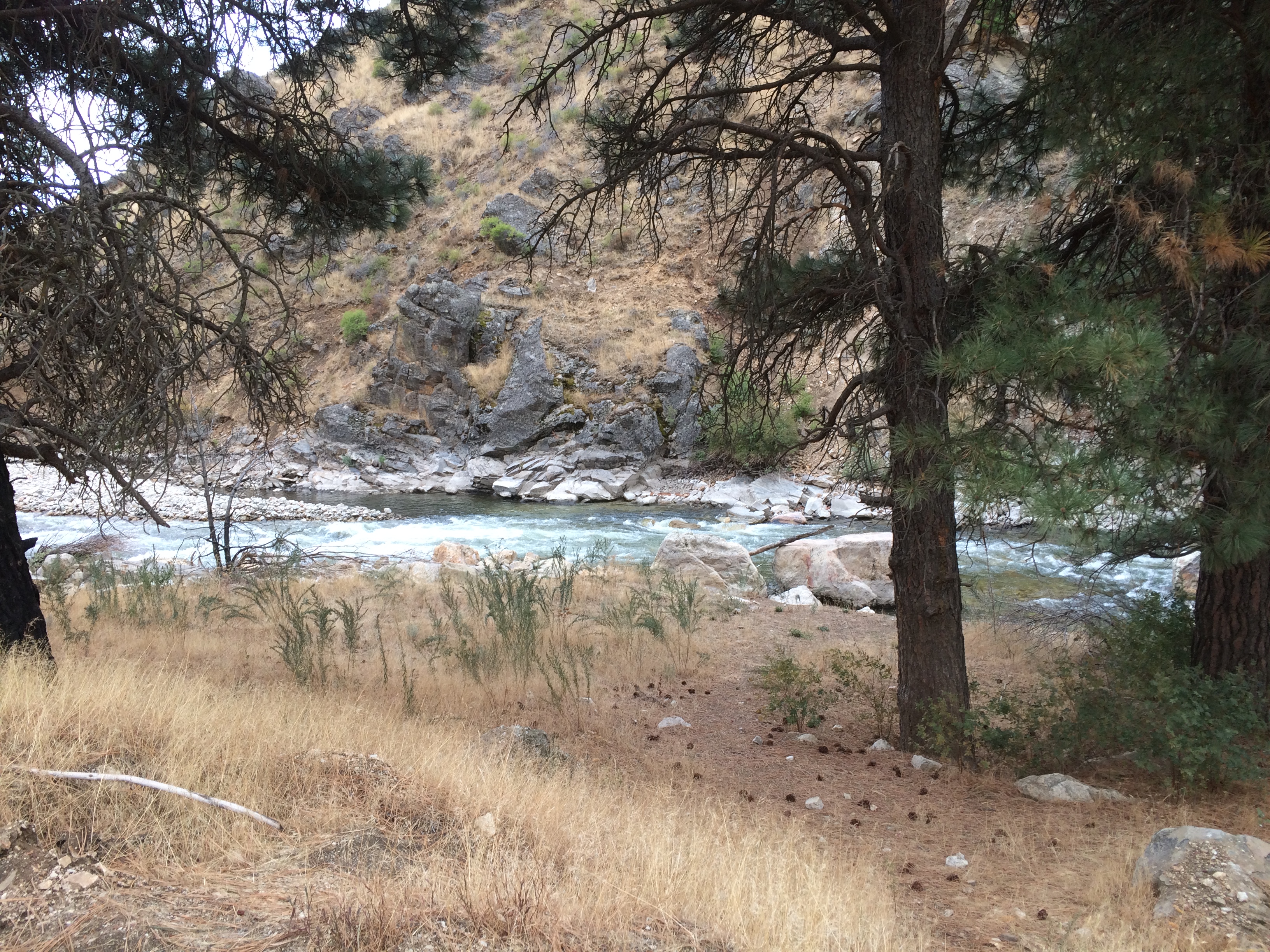
    I did stop below the tailwater put in to see what the talk was on the so called alternate put in was about.  I don’t think it is a big deal yet.  It is a very steep high bank and only soft boats can be launched there You have got to want to fish that section pretty bad to put a boat down that bank.  At the 600cfs that the river was at there was a route thru the rapid.  There was at least one must make move a weaker boatman would probably not want to run it at this level or lower, once the river comes up it should open up and be plenty of room just some big waves and maybe a hole to stay out of.

    Over all it was a good outing couldn’t beat the weather

  • Water Right Permit Statement

    Public Testimony on Elmore County Application for Permit No. 63-34348

    Richard Prange, Ted Trueblood Chapter of Trout Unlimited December 10, 2018

    My name is Richard Prange. I have lived in Boise since 1972 and retired here in 2001. I have fished virtually all my life and became a member of the Ted Trueblood Chapter shortly after it was establishment in 1991. I served as the Chapter President for two years in 2003 and 2004 and am currently on the Board of Directors. Our chapter has about 825 members living in Southwest Idaho. In regards to this water right application, I am here as a public witness speaking for the Ted Trueblood Chapter to urge you to give your highest consideration to protecting the South Fork Boise River fishery.

    During my years in Idaho, I have fished the South Fork of the Boise River extensively. Early on, I realized the South Fork downstream of Anderson Ranch Dam was a very special river in regards to it’s trout fishing. The river is considered a blue ribbon fishery and is nationally recognized as such. It has excellent water quality, a reliable and protected flow regime, and habitat ingredients to provide for a healthy trout fishery. The Idaho Department of Fish and Game stopped stocking the river in the mid 1970’s and a self perpetuating rainbow trout fishery has been managed for over 40 years under trophy trout regulations.

    The South Fork downstream of Anderson Ranch Dam is undoubtedly the most popular fly fishing destination in Southwest Idaho. Over the years, I have observed increasing numbers of anglers on the South Fork, to the point now, it can be difficult to find road pull off parking and a run to fish. Even during weekdays. More and more, out of state anglers are fishing the South Fork as evidenced by their license plates. Private outfitting is not permitted on the river because of the heavy use by the general public. During summertime irrigation season releases, there is a high amount of float boat use on the 10 mile long roaded section of the river. I inquired with three full service fly shop businesses in our area, and their managers/ owners informed me that they believe that fully 1/3 of their business comes from anglers headed to the South Fork. In 2011, Fish and Game conducted a statewide telephone and mail based economic survey and determined that the South Fork downstream of Anderson Ranch Dam generated 28,600 angler trips and $4.6 million in trip related spending annually. That was 7 years ago and more use is surely occurring now. South Fork sportsmen are spending money on outdoor gear, lodging, gas, food and beverage supplies.

    Trout Unlimited has a stake in the South Fork. Over the years we have devoted a substantial part of our chapter’s conservation efforts to the South Fork. We have raised over $30,000 for habitat improvement projects there. This money has been leveraged with other outside entity funding commitments totaling $140,000 to complete a variety of habitat projects and investigative studies. In doing so, we have collaborated with Fish and Game, US Forest Service, the Bureau of Reclamation, the Mountain Home Highway District and other area fishing clubs. We have provided volunteers to help in South Fork juvenile fish surveys, adult fish density studies, fish stranding evaluations, riparian restoration planting’s and tributary fish passage blockage determinations. In 2008, Trout Unlimited professional staff conducted a study to identify the genetic origins of the river’s trout. In 2011, we took the lead in a project to remove the Pierce Creek road culvert fish blockage and replace it with a bridge. In doing so, we worked closely with the Resource Advisory Committee to complete the $130,000 project. Following the disastrous Elk Complex Fire in 2013, Trout Unlimited helped in an investigation to develop a flushing flow plan to move sediments and channel debris from high value river reaches. In short, Trout Unlimited and the Ted Trueblood Chapter have been deeply invested in working to preserve the South Fork fishery.

    The river reach between Anderson Ranch Dam and Arrowrock Reservoir is a tailwater fishery that is totally influenced by water discharges from the dam. Reclamation provides structured flow releases and water management throughout the year to help assure the continuance of a robust and naturally functioning wild trout fishery. Outside the normal summer irrigation releases of 1,600 – 1,800 cfs, seasonal flow release targets are:

    • 300 cfs from September 16 to March 31 (fall/winter fish habitat maintenance and survival)

    • 600 cfs from April 1 to September 15 (rainbow trout spawning and rearing habitat maintenance)

    In good water years, higher springtime flow releases for flood control management have been extremely valuable in resorting river channel substrates and the flushing of accumulated sediments from past wildfires. Our southforkboise.org website, includes photos documenting dramatic changes from sediment flushing after flood control releases in 2017. These high spring flows are important to sustaining the fishery.

    The Ted Trueblood Chapter recognizes that there is a Mountain Home water need. But we must register our concern as to how this Elmore County 20,000 AF withdrawal in possible combination with other proposed water storage projects such as the Anderson Ranch Dam raise and the Cat Creek Summit Energy Pump Storage Project could reduce established fish flows on the South Fork Boise. We urge the Department of Water Resources to exercise great caution when considering granting a new water right use outside the South Fork basin. We are most concerned with maintaining the established winter and spring base and flushing flows. Any new water diversion, it would seem, will make it more difficult to sustain the existing fishery flow regime from Anderson Ranch Dam.


  • Easing into Winter

    Here is a collection of photos from four of the photo points along the South Fork Boise River. Photos from November 24, 2018.

    Pool at site sfboise#17

    The above photo is from the bracket on the sfboise#17 sign.  This site is just downstream of the boat ramp, about a mile downstream of Anderson Ranch Dam.

    Camera Stand at #sfboise17

    The quiescent pool in the South Fork is formed from the debris slide from September 12, 2013 that temporarily blocked the river flow as very large boulders tumbled into the river from the landslide.  In the past five years much of the material have moved downstream except for the largest boulders that still form a rapid and back up water to form this pool.

    Above Reclamation Village #sfboise16
    Camera stand
    Above Danskin boat area.
    Camera stand


    Pierce Creek Bridge
    Camera stand for #sfboise1
  • Bridge Rebuilt

    The bridge abutments on the Pierce Creek bridge have been replaced.  The project is a cooperative venture of the Mountain Home Highway District and the Boise National Forest. The abutments are treated laminated wood beams and posts, and driven several feet into the ground next to the stream.

    The bridge over Pierce Creek, a spawning tributary to the South Fork of the Boise River

    The project was completed in fall 2018 and secures the bridge for the long term.

    A mud crust over the plate on the bridge. Mud deposited from the numerous debris flow episodes 2013-2014.

    The bridge was placed on its original sill in November 2011.  The Elk Complex Wildfire of 2013 led to massive debris flows in Pierce Creek and ultimately would have compromised the foundation for the bridge. So the decision was made to life the bridge and replace the substructure and put it back in place, which happened in fall 2018.

    Future high flows and flooding will easily pass under the bridge. Pierce Creek fish passage to its headwaters will continue.
  • Sediment Movement shown in Photographs

    Here are some photographs showing the movement of sediment from the Granite Creek area where it enters the South Fork Boise River just upstream of the “Pine Tree Hole” a mile or so downstream of Cow Creek bridge.

    The debris or mud flows occurred on September 12, 2013.  The first set of photos was taken Sept. 16, 2013.  A comparison photo for the same area was taken Sept. 22, 2017.  River flows on both days was 300 cfs.


    Enough of the burned tree trunk remains to line up the photo point.  Smaller sediment is scoured and gone, as is the wood.


    That big tree bole in the upper photo is long gone.  When flows are at 7,000+ cfs it floats the logs downstream.


    Upper photo just three days after the debris flows and a sinuous channel was routed through the sediment.  Four years later the smaller particles are gone and channel is widening, exposing the larger rock that was deposited from the Granite Creek blowout.


    The big pile of trees on the large rocks are now washed away.  Moreover the large boulders are now re exposed after the river flows scoured the sediment.


    Looking downstream the deeper hole appears to have reformed.  In the distance the hillside appears barren of sage brush and bitter brush.


    Moving downstream a couple hundred years and then during the photo looking upstream the debris has been moved out of this section.

    A final photo set, looking upstream, at the head of the pocket water above the pine tree hole.